![[Bitte in "Englisch" übersetzen:]](/fileadmin/_processed_/7/e/csm_Wandern-Engadin-StMoritz_d80b73feb6.jpg "[Bitte in \"Englisch\" übersetzen:]")
Activities Summer
10 hiking routes in the Engadin for nature lovers

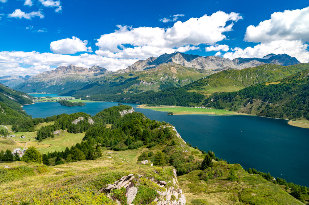
Via Engiadina: Maloja-Silvaplana
This route leads from Maloja to Silvaplana and offers spectacular views of the Upper Engadin lake landscape.
Length: 12.5 km
Difficulty level: easy
Highlights: breathtaking Upper Engadin lake landscape, picturesque paths along Lake Sils.
Photo spots: Views of the majestic mountains and lakes.
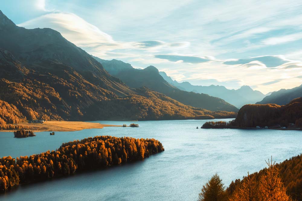
Sils – Peninsula Chastè – Sils
A picturesque walk around the Chastè peninsula with a view of Lake Sils.
Length: 4.4 km
Difficulty level: easy
Highlights: Walk in Nietzsche's footsteps, fascinating views over Lake Sils, Nietzsche memorial stone.
Photo spots: Panoramic view over Lake Sils, particularly beautiful from the Nietzsche memorial stone.
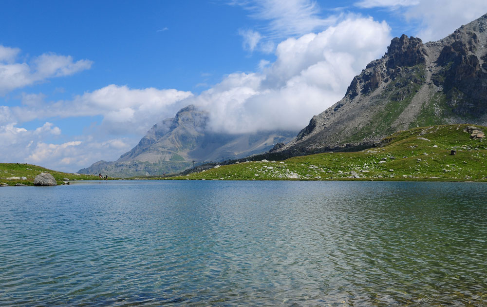
Senda Ils Lejins
The Furtschellas water trail, a circular route along six mountain lakes.
Length: 6.1 km
Difficulty level: medium
Highlights: Circular trail along six mountain lakes, ideal for observing the alpine flora and fauna.
Photo spots: Crystal-clear mountain lakes and the impressive mountain scenery.

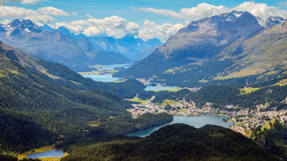
Corvatsch - Lake Hahnen - St. Moritz
A tour with wonderful views of the lake landscape of the Upper Engadin.
Length: 10.5 km
Difficulty level: medium
Highlights: magnificent views of the Upper Engadin lake landscape, diverse flora and fauna.
Photo spots: View of the lake landscape and the imposing Piz Bernina.
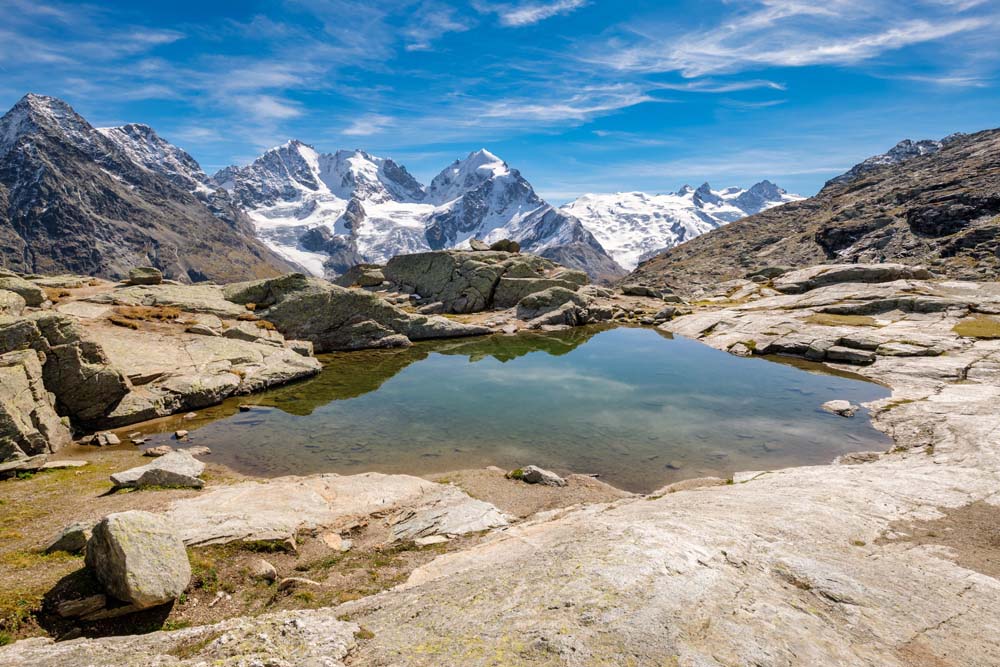
This stage leads through the lovely Val Roseg and offers magnificent views.
Length: 13.4 km
Difficulty level: medium
Highlights: fantastic views in Val Roseg, spectacular view of the Biancograt.
Photo spots: Fuorcla Surlej with views of the Biancograt and the surrounding glaciers.

Rundwanderung Gravatscha Innauen
A hike through revitalized Inn floodplains, an example of successful landscape conservation.
Length: 3.1 km
Difficulty level: easy
Highlights: natural landscape, an example of successful landscape conservation.
Photo spots: naturally protected Inn floodplains with their special flora and fauna.
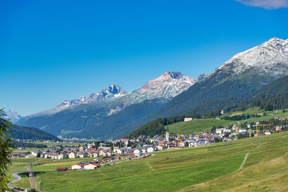
Albula Pass - Chamanna d'Es-cha-Zuoz:
A route with fantastic views of the Engadin village of Zuoz.
Length: 11.1 km
Difficulty level: medium
Highlights: Alpine bus ride to the Albula Pass, hike across picturesque Alpine meadows.
Photo spots: fantastic views of the Engadin mountains and the village of Zuoz.

Loop hike Val Trupchun
Known as the most wildlife-rich valley in the national park, ideal for wildlife spotting.
Length: 13.9 km
Difficulty level: medium
Highlights: The wildest valley in the national park, ideal for wildlife spotting.
Photo spots: Views of deer, chamois, ibex and marmots in their natural habitat.
Yes, many routes are also suitable for beginners. The Sils - Chastè peninsula - Sils route, for example, is an easy walk with breathtaking views.
Yes, there are many family-friendly hiking routes in the Engadin. The Muottas Muragl panoramic trail, for example, is ideal for families.
Yes, dogs are allowed on most hiking trails. However, it is important to keep them under control, especially around wildlife.
Check the route, the length and the level of difficulty. Take enough water, snacks and suitable clothing with you.
Yes, various guided hikes are offered in the Engadin, including glacier hikes and wildlife observation tours.
Detailed information and maps of the hiking routes can be found on websites such as engadin.ch or outdooractive.com.